| Item Detail |
| |
| |
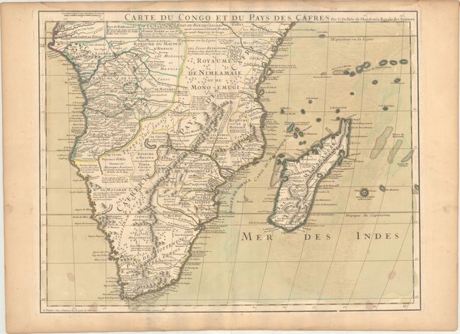
MapMaker: |
Guillaume Delisle
|
|
| |
| |
Subject: |
Southern Africa, Madagascar |
|
| |
Period/Size: |
1708 / 19.2" x 24.4" (48.8 x 62.0 cm)
|
|
| |
Color: |
Colored
|
|
| |
Condition: |
(B+) A nice impression on watermarked paper with original wash and outline color. There are several stains in the bottom corners, light offsetting, and light toning along the edges of the sheet. (condition help) |
|
| |
Source: |
|
|
| |
References: |
|
|
| |
|
|
| Sales Information |
| |
| |
Price: |
|
|
| |
| |
Offered by: |
Old World Auctions |
|
| |
Catalog: |
Auction No. 169 - Antique Maps, Charts, Atlases & Globes (9467) |
|
| |
Lot/Item #: |
746 |
|
| |
| |
Date: |
09/2018
|
|
| |
| |
|