| Item Detail |
| |
| |
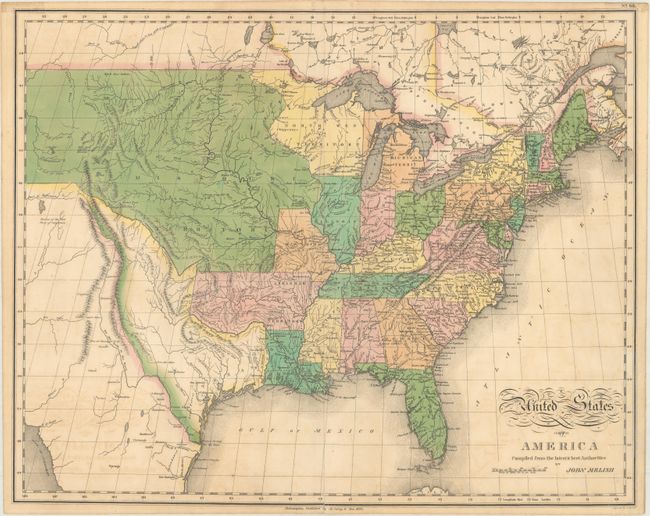
MapMaker: |
John Melish
|
|
| |
| |
Subject: |
Eastern United States |
|
| |
Period/Size: |
1820 / 16.9" x 21.2" (43.0 x 53.9 cm)
|
|
| |
Color: |
Colored
|
|
| |
Condition: |
(B+) There is light offsetting, a short tear along the lower right border that has been closed with archival materials on both recto and verso, and a tiny centerfold separation at bottom. There is a bit of residue along the top edge of the verso from whe (condition help) |
|
| |
Source: |
A Complete Genealogical, Historical, Chronological and Geographical Atlas... |
|
| |
References: |
Wheat (TMW) #338. |
|
| |
|
|
| Sales Information |
| |
| |
Price: |
|
|
| |
| |
Offered by: |
Old World Auctions |
|
| |
Catalog: |
Auction No. 169 - Antique Maps, Charts, Atlases & Globes (9467) |
|
| |
Lot/Item #: |
166 |
|
| |
| |
Date: |
09/2018
|
|
| |
| |
|