| Item Detail |
| |
| |
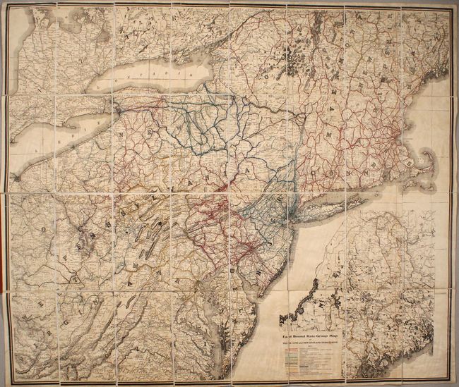
MapMaker: |
Morris
|
|
| |
| |
Subject: |
Northeastern United States & Canada |
|
| |
Period/Size: |
1912 / 34.9" x 40.9" (88.7 x 103.9 cm)
|
|
| |
Color: |
Colored
|
|
| |
Condition: |
(B+) Overall light toning and staining from the adhesive used to glue the map to the linen. Covers have average wear with pencil notations on the front board. (condition help) |
|
| |
Source: |
|
|
| |
References: |
|
|
| |
|
|
| Sales Information |
| |
| |
Price: |
|
|
| |
| |
Offered by: |
Old World Auctions |
|
| |
Catalog: |
Auction No. 170 - Antique Maps, Charts, Atlases & Globes (9468) |
|
| |
Lot/Item #: |
141 |
|
| |
| |
Date: |
11/2018
|
|
| |
| |
|