| Item Detail |
| |
| |
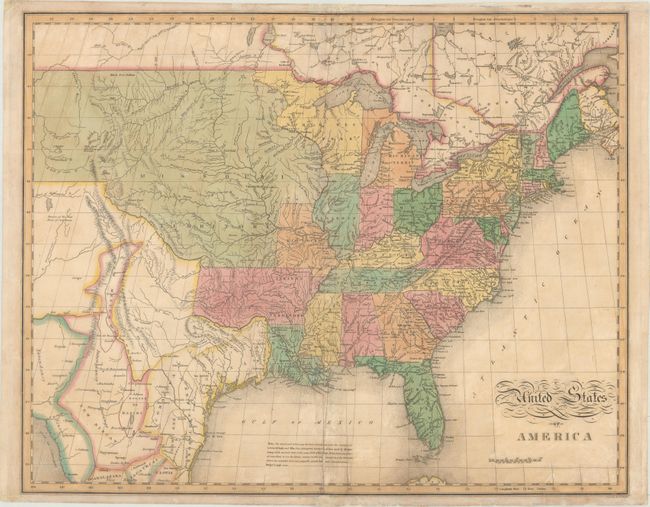
MapMaker: |
John Melish
|
|
| |
| |
Subject: |
Eastern United States |
|
| |
Period/Size: |
1827 / 16.9" x 21.1" (43.0 x 53.6 cm)
|
|
| |
Color: |
Colored
|
|
| |
Condition: |
(B) Lightly toned with some minor offsetting and small damp stains. There are several repairs along the centerfold including some minor paper restoration. Portions of the margins have been reinforced with tissue on the face of the sheet, affecting only (condition help) |
|
| |
Source: |
Carey & Lea's American Atlas |
|
| |
References: |
cf. Wheat (TMW) #338; Phillips (A) #1177. |
|
| |
|
|
| Sales Information |
| |
| |
Price: |
|
|
| |
| |
Offered by: |
Old World Auctions |
|
| |
Catalog: |
Auction No. 170 - Antique Maps, Charts, Atlases & Globes (9468) |
|
| |
Lot/Item #: |
162 |
|
| |
| |
Date: |
11/2018
|
|
| |
| |
|