| Item Detail |
| |
| |
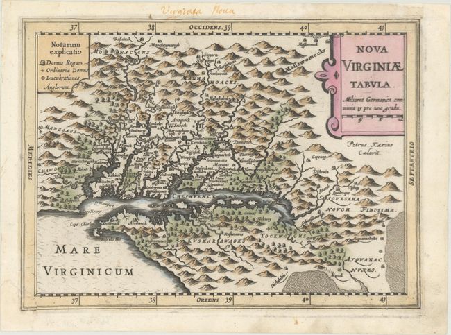
MapMaker: |
Mercator/Cloppenburgh
|
|
| |
| |
Subject: |
Colonial Mid-Atlantic United States |
|
| |
Period/Size: |
1673 / 7.3" x 9.9" (18.6 x 25.2 cm)
|
|
| |
Color: |
Colored
|
|
| |
Condition: |
(B+) A dark impression that is slightly uneven at far right. The bottom left corner of the map (only affecting the border) was torn off and professionally reattached, and a small chip at top right (confined to the blank margin) has also been professional (condition help) |
|
| |
Source: |
|
|
| |
References: |
Burden #226; Tooley (America) plt. 72; Van der Krogt (Vol. III) #9410:353. |
|
| |
|
|
| Sales Information |
| |
| |
Price: |
|
|
| |
| |
Offered by: |
Old World Auctions |
|
| |
Catalog: |
Auction No. 170 - Antique Maps, Charts, Atlases & Globes (9468) |
|
| |
Lot/Item #: |
172 |
|
| |
| |
Date: |
11/2018
|
|
| |
| |
|