| Item Detail |
| |
| |
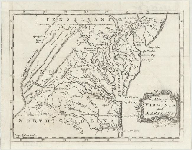
MapMaker: |
Thomas Salmon
|
|
| |
| |
Subject: |
Colonial Mid-Atlantic United States |
|
| |
Period/Size: |
1767 / 5.8" x 7.6" (14.8 x 19.3 cm)
|
|
| |
Color: |
Black & White
|
|
| |
Condition: |
(A) A nice impression on a clean, bright sheet with an "IV" watermark and one tiny hole at lower left that has been professionally repaired. Remargined at left with period-correct paper, with minor loss of neatline. Issued folding. (condition help) |
|
| |
Source: |
A New Geographical and Historical Grammar |
|
| |
References: |
Sellers & Van Ee #1391; McCorkle (18th C. Geog. Books) #364 [28]. |
|
| |
|
|
| Sales Information |
| |
| |
Price: |
|
|
| |
| |
Offered by: |
Old World Auctions |
|
| |
Catalog: |
Auction No. 170 - Antique Maps, Charts, Atlases & Globes (9468) |
|
| |
Lot/Item #: |
176 |
|
| |
| |
Date: |
11/2018
|
|
| |
| |
|