| Item Detail |
| |
| |
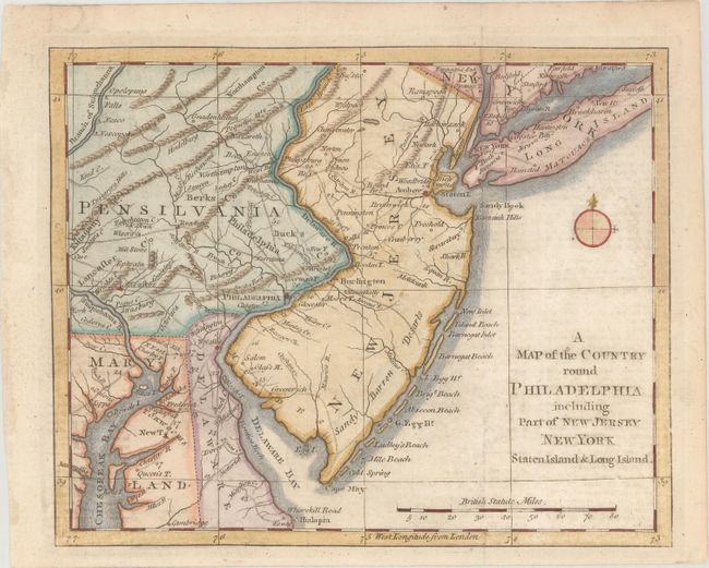
MapMaker: |
Anonymous
|
|
| |
| |
Subject: |
Colonial Mid-Atlantic United States, Revolutionary War |
|
| |
Period/Size: |
1776 / 7.1" x 8.8" (18.1 x 22.4 cm)
|
|
| |
Color: |
Colored
|
|
| |
Condition: |
(B+) Issued folding with light offsetting from an opposing page of text, two short fold separations in the top blank margin that have been archivally repaired, and remnants of hinge tape on verso. (condition help) |
|
| |
Source: |
Gentleman's Magazine |
|
| |
References: |
Jolly #GENT-247; Phillips (M) p.699; Sellers and Van Ee #1041. |
|
| |
|
|
| Sales Information |
| |
| |
Price: |
|
|
| |
| |
Offered by: |
Old World Auctions |
|
| |
Catalog: |
Auction No. 170 - Antique Maps, Charts, Atlases & Globes (9468) |
|
| |
Lot/Item #: |
177 |
|
| |
| |
Date: |
11/2018
|
|
| |
| |
|