| Item Detail |
| |
| |
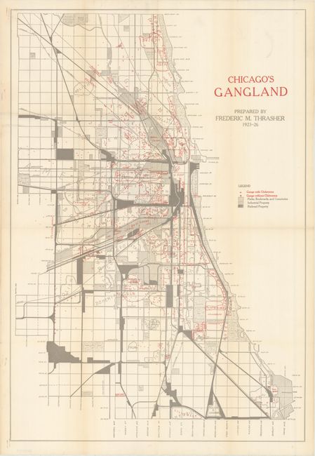
MapMaker: |
Frederic M. Thrasher
|
|
| |
| |
Subject: |
Chicago, Illinois |
|
| |
Period/Size: |
1927 / 25.6" x 17.5" (65.1 x 44.5 cm)
|
|
| |
Color: |
Colored
|
|
| |
Condition: |
(B+) Issued folding, now flattened and professionally backed in archival tissue to repair a few tiny holes along the folds as well as some pin holes along the left edge of the sheet. There is very light toning along the folds and edges of the sheet. (condition help) |
|
| |
Source: |
The Gang: A Study of 1,313 Gangs in Chicago |
|
| |
References: |
PJ Mode Collection #1222.01. |
|
| |
|
|
| Sales Information |
| |
| |
Price: |
|
|
| |
| |
Offered by: |
Old World Auctions |
|
| |
Catalog: |
Auction No. 170 - Antique Maps, Charts, Atlases & Globes (9468) |
|
| |
Lot/Item #: |
262 |
|
| |
| |
Date: |
11/2018
|
|
| |
| |
|