| Item Detail |
| |
| |
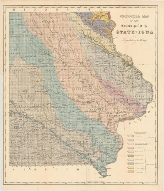
MapMaker: |
James Hall
|
|
| |
| |
Subject: |
Iowa, Geology |
|
| |
Period/Size: |
1857 / 23.1" x 19.9" (58.7 x 50.6 cm)
|
|
| |
Color: |
Colored
|
|
| |
Condition: |
(B+) Issued folding with a 7" binding tear at left that has been closed on verso with archival tape. There are several tiny splits at fold intersections with minute loss near Grundy County. (condition help) |
|
| |
Source: |
Report of the Geological Survey of the State of Iowa |
|
| |
References: |
Marcou & Marcou #455. |
|
| |
|
|
| Sales Information |
| |
| |
Price: |
|
|
| |
| |
Offered by: |
Old World Auctions |
|
| |
Catalog: |
Auction No. 170 - Antique Maps, Charts, Atlases & Globes (9468) |
|
| |
Lot/Item #: |
266 |
|
| |
| |
Date: |
11/2018
|
|
| |
| |
|