| Item Detail |
| |
| |
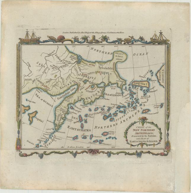
MapMaker: |
Thomas Conder
|
|
| |
| |
Subject: |
North Pacific Ocean |
|
| |
Period/Size: |
1782 / 6.3" x 7.8" (16.0 x 19.9 cm)
|
|
| |
Color: |
Colored
|
|
| |
Condition: |
(B+) A crisp impression. The bottom border of the original sheet has been attached to the map just below neatline with archival tissue. A chip in the right margin has been replaced with old paper. (condition help) |
|
| |
Source: |
Millar's New and Universal System of Geography |
|
| |
References: |
McCorkle (18th C. Geography Books) #281-8. |
|
| |
|
|
| Sales Information |
| |
| |
Price: |
|
|
| |
| |
Offered by: |
Old World Auctions |
|
| |
Catalog: |
Auction No. 170 - Antique Maps, Charts, Atlases & Globes (9468) |
|
| |
Lot/Item #: |
684 |
|
| |
| |
Date: |
11/2018
|
|
| |
| |
|