| Item Detail |
| |
| |
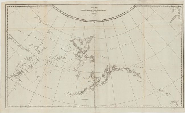
MapMaker: |
James Cook
|
|
| |
| |
Subject: |
North Pacific Ocean |
|
| |
Period/Size: |
1784 / 15.2" x 26.0" (38.6 x 66.1 cm)
|
|
| |
Color: |
Black & White
|
|
| |
Condition: |
(B) Issued folding, now flattened with light offsetting and a few minor extraneous creases. There is a thin strip along the right-hand vertical fold that was cut, and has been replaced with period-correct paper with a minute amount of the rhumb lines rep (condition help) |
|
| |
Source: |
|
|
| |
References: |
Kershaw #1140, Wagner #696. |
|
| |
|
|
| Sales Information |
| |
| |
Price: |
|
|
| |
| |
Offered by: |
Old World Auctions |
|
| |
Catalog: |
Auction No. 170 - Antique Maps, Charts, Atlases & Globes (9468) |
|
| |
Lot/Item #: |
685 |
|
| |
| |
Date: |
11/2018
|
|
| |
| |
|