| Item Detail |
| |
| |
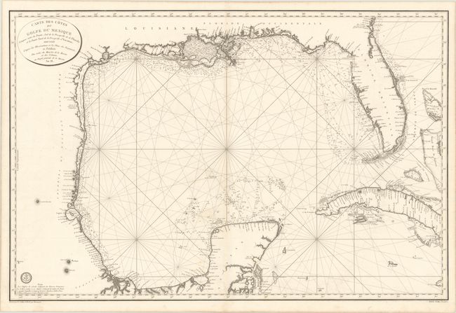
MapMaker: |
Depot de la Marine
|
|
| |
| |
Subject: |
Gulf of Mexico & Cuba |
|
| |
Period/Size: |
1800 / 23.8" x 35.9" (60.5 x 91.2 cm)
|
|
| |
Color: |
Black & White
|
|
| |
Condition: |
(A) A nice impression on sturdy, watermarked paper with a hint of toning along the centerfold and the edges of the sheet. (condition help) |
|
| |
Source: |
|
|
| |
References: |
Phillips (Atlases) #590-67a; Streeter (Texas) #1030; cf. Martin & Martin, p. 105. |
|
| |
|
|
| Sales Information |
| |
| |
Price: |
|
|
| |
| |
Offered by: |
Old World Auctions |
|
| |
Catalog: |
Auction No. 170 - Antique Maps, Charts, Atlases & Globes (9468) |
|
| |
Lot/Item #: |
367 |
|
| |
| |
Date: |
11/2018
|
|
| |
| |
|