| Item Detail |
| |
| |
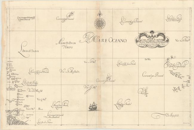
MapMaker: |
Robert Dudley
|
|
| |
| |
Subject: |
North Atlantic |
|
| |
Period/Size: |
1646 / 18.9" x 29.3" (48.0 x 74.5 cm)
|
|
| |
Color: |
Black & White
|
|
| |
Condition: |
(B+) A sharp impression on a bright sheet with the watermark of three small hills. There is light toning along the centerfold, a minor crease at bottom center, and a damp stain confined to the left blank margin. (condition help) |
|
| |
Source: |
Dell' Arcano del Mare |
|
| |
References: |
Shirley (BL Atlases) M.DUD-1b. |
|
| |
|
|
| Sales Information |
| |
| |
Price: |
|
|
| |
| |
Offered by: |
Old World Auctions |
|
| |
Catalog: |
Auction No. 170 - Antique Maps, Charts, Atlases & Globes (9468) |
|
| |
Lot/Item #: |
435 |
|
| |
| |
Date: |
11/2018
|
|
| |
| |
|