| Item Detail |
| |
| |
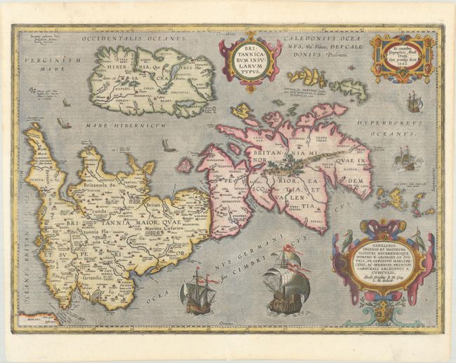
MapMaker: |
Abraham Ortelius
|
|
| |
| |
Subject: |
Britain |
|
| |
Period/Size: |
1618 / 14.4" x 20.0" (36.6 x 50.8 cm)
|
|
| |
Color: |
Colored
|
|
| |
Condition: |
(A) An overall nice impression that is slightly weak in a few spots along the border. There are professional repairs to short centerfold separations in the top and bottom blank margins and to a tiny tear along the centerfold near the bottom of the image. (condition help) |
|
| |
Source: |
Theatrum Geographiae Veteris |
|
| |
References: |
Shirley (BI to 1650) #186, plt. 42; Van den Broecke #192. |
|
| |
|
|
| Sales Information |
| |
| |
Price: |
|
|
| |
| |
Offered by: |
Old World Auctions |
|
| |
Catalog: |
Auction No. 170 - Antique Maps, Charts, Atlases & Globes (9468) |
|
| |
Lot/Item #: |
447 |
|
| |
| |
Date: |
11/2018
|
|
| |
| |
|