| Item Detail |
| |
| |
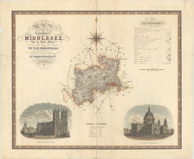
MapMaker: |
Greenwood
|
|
| |
| |
Subject: |
Southern England |
|
| |
Period/Size: |
1829 / 21.1" x 25.8" (53.6 x 65.6 cm)
|
|
| |
Color: |
Colored
|
|
| |
Condition: |
(B+) On heavy paper with a "J. Whatman 1829" watermark and some archivally repaired edge tears, including one that enters 3" into map image at bottom. There is minor soiling, much of it confined to the margins, a chip in the left blank margin, and the ce (condition help) |
|
| |
Source: |
|
|
| |
References: |
|
|
| |
|
|
| Sales Information |
| |
| |
Price: |
|
|
| |
| |
Offered by: |
Old World Auctions |
|
| |
Catalog: |
Auction No. 170 - Antique Maps, Charts, Atlases & Globes (9468) |
|
| |
Lot/Item #: |
453 |
|
| |
| |
Date: |
11/2018
|
|
| |
| |
|