| Item Detail |
| |
| |
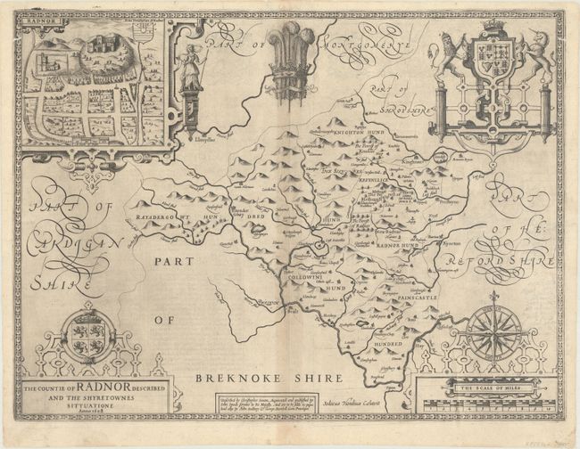
MapMaker: |
John Speed
|
|
| |
| |
Subject: |
Radnorshire, Wales |
|
| |
Period/Size: |
1610 / 15.1" x 20.1" (38.4 x 51.1 cm)
|
|
| |
Color: |
Black & White
|
|
| |
Condition: |
(B+) A crisp impression on a watermarked sheet with light toning and offsetting along the centerfold, a pair of short worm tracks on the border at top left and top right, and light printer's ink residue. (condition help) |
|
| |
Source: |
The Theatre of the Empire of Great Britaine... |
|
| |
References: |
Shirley (BL Atlases) T.SPE-1b. |
|
| |
|
|
| Sales Information |
| |
| |
Price: |
|
|
| |
| |
Offered by: |
Old World Auctions |
|
| |
Catalog: |
Auction No. 170 - Antique Maps, Charts, Atlases & Globes (9468) |
|
| |
Lot/Item #: |
464 |
|
| |
| |
Date: |
11/2018
|
|
| |
| |
|