| Item Detail |
| |
| |
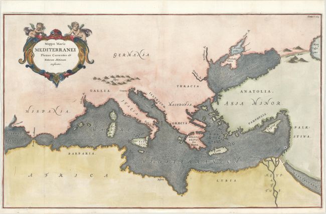
MapMaker: |
Athanasius Kircher
|
|
| |
| |
Subject: |
Mediterranean |
|
| |
Period/Size: |
1682 / 13.4" x 21.9" (34.1 x 55.7 cm)
|
|
| |
Color: |
Colored
|
|
| |
Condition: |
(A) A crisp impression issued folding, now flattened, on a bright sheet with a small "RR" watermark. There are two small holes along the neatline at top that have been professionally repaired, with a minor amount of neatline replaced in facsimile. (condition help) |
|
| |
Source: |
D'Onder-Aardse Weereld |
|
| |
References: |
|
|
| |
|
|
| Sales Information |
| |
| |
Price: |
|
|
| |
| |
Offered by: |
Old World Auctions |
|
| |
Catalog: |
Auction No. 170 - Antique Maps, Charts, Atlases & Globes (9468) |
|
| |
Lot/Item #: |
585 |
|
| |
| |
Date: |
11/2018
|
|
| |
| |
|