Title:
“Historical Hand-Atlas Illustrated Containing Large Scale Copper Plate Maps of Each State annd Territory of the United States...”
Map Maker:
Hiram H. Hardesty
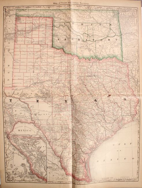
This atlas is titled as an historical atlas, but i... (full text available to subscribers)
| Item Detail |
| |
| |
MapMaker: |
Hiram H. Hardesty
|
|
| |
| |
Subject: |
Atlases |
|
| |
Period/Size: |
1882 / 14.9" x 11.1" (37.9 x 28.2 cm)
|
|
| |
Color: |
Colored
|
|
| |
Condition: |
(B) The maps are almost all very good with overall light toning (B+). The exception is the folding map of Ohio that has a long, 12" fold separation at bottom right (C+). The binding is loose with a handful of maps separated from the text block and the c (condition help) |
|
| |
Source: |
|
|
| |
References: |
|
|
| |
|
|
| Sales Information |
| |
| |
Price: |
|
|
| |
| |
Offered by: |
Old World Auctions |
|
| |
Catalog: |
Auction No. 170 - Antique Maps, Charts, Atlases & Globes (9468) |
|
| |
Lot/Item #: |
716 |
|
| |
| |
Date: |
11/2018
|
|
| |
| |
|
Antique Maps - Valuation and Pricing, Descriptions, Resources |
|
Home |
Information |
Search |
Register |
Contact Us |
Site Map
Americana Exchange, Inc. © 1999 - 2024 Americana Exchange, Inc.. All rights reserved.
OldMaps.com, the OldMaps.com logo and
AMPR are service marks or registered service marks of Americana Exchange, Inc..
|