Title:
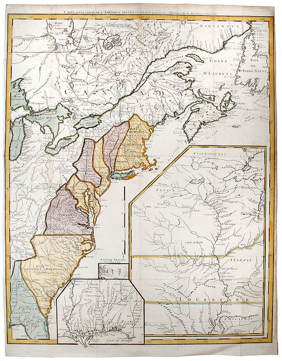
“Carte d'une Partie de l'Amerique Septentrionale, pour servir a l'Histoire de la derniere Guerre”
Map Maker:
George Louis Le Rouge
A fine example of this highly detailed set of maps... (full text available to subscribers)
| Item Detail |
| |
| |
MapMaker: |
George Louis Le Rouge
|
|
| |
| |
Subject: |
Eastern United States New data: New England states / Vermont |
|
| |
Period/Size: |
c. 1755 / 24.4" x 19.7" (62.0 x 50.1 cm)
|
|
| |
Color: |
Colored
|
|
| |
Condition: |
Minor age toned. Foxing on margins. Short side margins. (condition help) |
|
| |
Source: |
Histoire des Troubles de Amerique Anglaise |
|
| |
References: |
|
|
| |
|
|
| Sales Information |
| |
| |
Price: |
|
|
| |
| |
Offered by: |
Paulus Swaen Old Maps & Prints |
|
| |
Catalog: |
October 15, 2019 Internet Auction (9473) |
|
| |
Lot/Item #: |
82659 |
|
| |
| |
Date: |
10/2019
|
|
| |
| |
|
Antique Maps - Valuation and Pricing, Descriptions, Resources |
|
Home |
Information |
Search |
Register |
Contact Us |
Site Map
Americana Exchange, Inc. © 1999 - 2024 Americana Exchange, Inc.. All rights reserved.
OldMaps.com, the OldMaps.com logo and
AMPR are service marks or registered service marks of Americana Exchange, Inc..
|