| Item Detail |
| |
| |
MapMaker: |
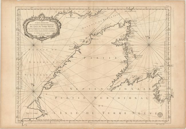
Jacques Nicolas Bellin
|
|
| |
| |
Subject: |
Newfoundland, Canada |
|
| |
Period/Size: |
1767 / 23.7" x 31.3" (60.2 x 79.5 cm)
|
|
| |
Color: |
Black & White
|
|
| |
Condition: |
(B+) On watermarked paper with light offsetting, a few spots of foxing, and a paper flaw at top right. There is one tiny hole in a blank area caused by a paper imperfection and some minor edge tears confined to the blank margins. (condition help) |
|
| |
Source: |
|
|
| |
References: |
|
|
| |
|
|
| Sales Information |
| |
| |
Price: |
|
|
| |
| |
Offered by: |
Old World Auctions |
|
| |
Catalog: |
Auction No. 171 - Antique Maps, Charts, Atlases & Globes (9469) |
|
| |
Lot/Item #: |
120 |
|
| |
| |
Date: |
02/2019
|
|
| |
| |
|