| Item Detail |
| |
| |
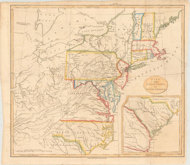
MapMaker: |
John Stockdale
|
|
| |
| |
Subject: |
Eastern United States |
|
| |
Period/Size: |
1798 / 16.2" x 18.5" (41.2 x 47.0 cm)
|
|
| |
Color: |
Colored
|
|
| |
Condition: |
(B+) Issued folding on paper with a "Lepard 9 6" watermark, light offsetting, and some fold separations and a 2.5" binding tear at right that have been repaired on verso with archival materials. (condition help) |
|
| |
Source: |
Travels Through the States of North America |
|
| |
References: |
McCorkle #798.5. |
|
| |
|
|
| Sales Information |
| |
| |
Price: |
|
|
| |
| |
Offered by: |
Old World Auctions |
|
| |
Catalog: |
Auction No. 171 - Antique Maps, Charts, Atlases & Globes (9469) |
|
| |
Lot/Item #: |
151 |
|
| |
| |
Date: |
02/2019
|
|
| |
| |
|