| Item Detail |
| |
| |
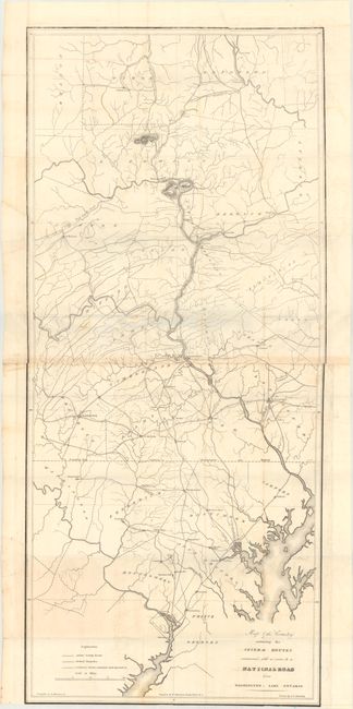
MapMaker: |
U.S. War Department
|
|
| |
| |
Subject: |
Mid-Atlantic United States |
|
| |
Period/Size: |
1828 / 37.9" x 16.8" (96.3 x 42.7 cm)
|
|
| |
Color: |
Black & White
|
|
| |
Condition: |
(B) Issued folding with light offsetting and toning along the joints and some of the folds. There are a couple small holes along the top neatline of the second sheet, and on both sheets the bottom margins are trimmed close to the neatline. (condition help) |
|
| |
Source: |
HR Doc. 38, 20th Congress, 2nd Session |
|
| |
References: |
Claussen & Friis #15. |
|
| |
|
|
| Sales Information |
| |
| |
Price: |
|
|
| |
| |
Offered by: |
Old World Auctions |
|
| |
Catalog: |
Auction No. 171 - Antique Maps, Charts, Atlases & Globes (9469) |
|
| |
Lot/Item #: |
175 |
|
| |
| |
Date: |
02/2019
|
|
| |
| |
|