| Item Detail |
| |
| |
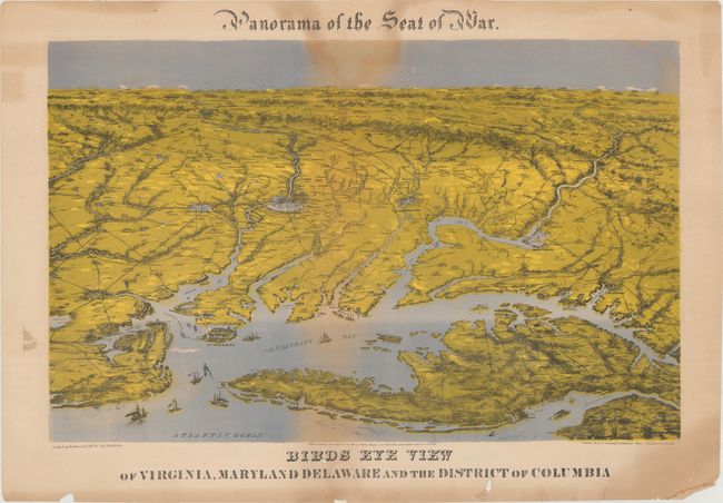
MapMaker: |
John Bachmann
|
|
| |
| |
Subject: |
Mid-Atlantic United States, Civil War |
|
| |
Period/Size: |
1864 / 17.9" x 28.3" (45.5 x 71.9 cm)
|
|
| |
Color: |
Colored
|
|
| |
Condition: |
(B) There are light dampstains occupying the center vertical section of the image and some uneven toning mostly in the blank margins. There are a number of short edge tears and chips around the lower title/bottom margin, which have been partially repaire (condition help) |
|
| |
Source: |
|
|
| |
References: |
cf. Stephenson (CW) #2, pp. 30-31; cf. Stephenson & McKee p. 239; cf. Wooldridge p. 262; Reps (Views) p. 160. |
|
| |
|
|
| Sales Information |
| |
| |
Price: |
|
|
| |
| |
Offered by: |
Old World Auctions |
|
| |
Catalog: |
Auction No. 171 - Antique Maps, Charts, Atlases & Globes (9469) |
|
| |
Lot/Item #: |
177 |
|
| |
| |
Date: |
02/2019
|
|
| |
| |
|