| Item Detail |
| |
| |
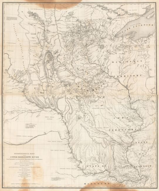
MapMaker: |
U.S. War Department
|
|
| |
| |
Subject: |
Central United States |
|
| |
Period/Size: |
1843 / 18.2" x 30.3" (46.3 x 77.0 cm)
|
|
| |
Color: |
Black & White
|
|
| |
Condition: |
(B) Issued folding with a few mis-folds and dark stains at the very top and bottom of the map. Please note that the first image is a composite image - the map is on two separate sheets. (condition help) |
|
| |
Source: |
Sen. Ex. Doc. No. 237, 26th Congress, 2nd Session |
|
| |
References: |
Claussen & Friis #390; Schwartz and Ehrenberg, p. 267-268, plt. 165. |
|
| |
|
|
| Sales Information |
| |
| |
Price: |
|
|
| |
| |
Offered by: |
Old World Auctions |
|
| |
Catalog: |
Auction No. 171 - Antique Maps, Charts, Atlases & Globes (9469) |
|
| |
Lot/Item #: |
191 |
|
| |
| |
Date: |
02/2019
|
|
| |
| |
|