| Item Detail |
| |
| |
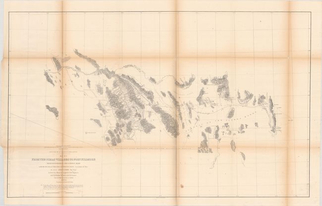
MapMaker: |
John Grubb Parke
|
|
| |
| |
Subject: |
Arizona |
|
| |
Period/Size: |
1854-55 / 23.7" x 38.3" (60.2 x 97.3 cm)
|
|
| |
Color: |
Black & White
|
|
| |
Condition: |
(B+) Folding, as issued, with some of the usual toning and minor fold separations, some repaired on the verso with archival tape, and a small stain at bottom center. (condition help) |
|
| |
Source: |
U.S. Pacific Railroad Surveys |
|
| |
References: |
Wheat (TMW) #851. |
|
| |
|
|
| Sales Information |
| |
| |
Price: |
|
|
| |
| |
Offered by: |
Old World Auctions |
|
| |
Catalog: |
Auction No. 171 - Antique Maps, Charts, Atlases & Globes (9469) |
|
| |
Lot/Item #: |
216 |
|
| |
| |
Date: |
02/2019
|
|
| |
| |
|