| Item Detail |
| |
| |
MapMaker: |
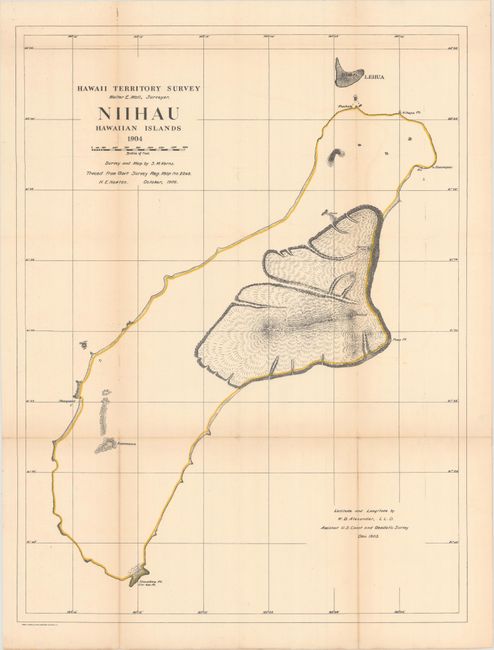
Hawaii Territorial Surveys
|
|
| |
| |
Subject: |
Ni'ihau, Hawaii |
|
| |
Period/Size: |
1904 / 25.4" x 19.2" (64.6 x 48.8 cm)
|
|
| |
Color: |
Colored
|
|
| |
Condition: |
(B+) Issued folding and now flattened and backed with tissue to repair and reinforce a few tiny splits at fold intersections. There is light toning along the fold lines. (condition help) |
|
| |
Source: |
|
|
| |
References: |
|
|
| |
|
|
| Sales Information |
| |
| |
Price: |
|
|
| |
| |
Offered by: |
Old World Auctions |
|
| |
Catalog: |
Auction No. 171 - Antique Maps, Charts, Atlases & Globes (9469) |
|
| |
Lot/Item #: |
253 |
|
| |
| |
Date: |
02/2019
|
|
| |
| |
|