| Item Detail |
| |
| |
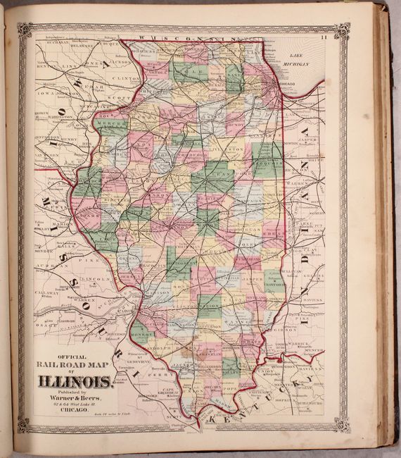
MapMaker: |
Warner & Beers
|
|
| |
| |
Subject: |
Illinois, United States, Atlases |
|
| |
Period/Size: |
1872 / 18.4" x 15.8" (46.8 x 40.2 cm)
|
|
| |
Color: |
Colored
|
|
| |
Condition: |
(B) The maps range from good to near fine with varying imperfections. The county map section has imperfections related to use including soiling and frequent pencil notations (B/B+). The state section is mostly clean and bright with occasional foxing or (condition help) |
|
| |
Source: |
|
|
| |
References: |
Rumsey #2585. |
|
| |
|
|
| Sales Information |
| |
| |
Price: |
|
|
| |
| |
Offered by: |
Old World Auctions |
|
| |
Catalog: |
Auction No. 171 - Antique Maps, Charts, Atlases & Globes (9469) |
|
| |
Lot/Item #: |
257 |
|
| |
| |
Date: |
02/2019
|
|
| |
| |
|