| Item Detail |
| |
| |
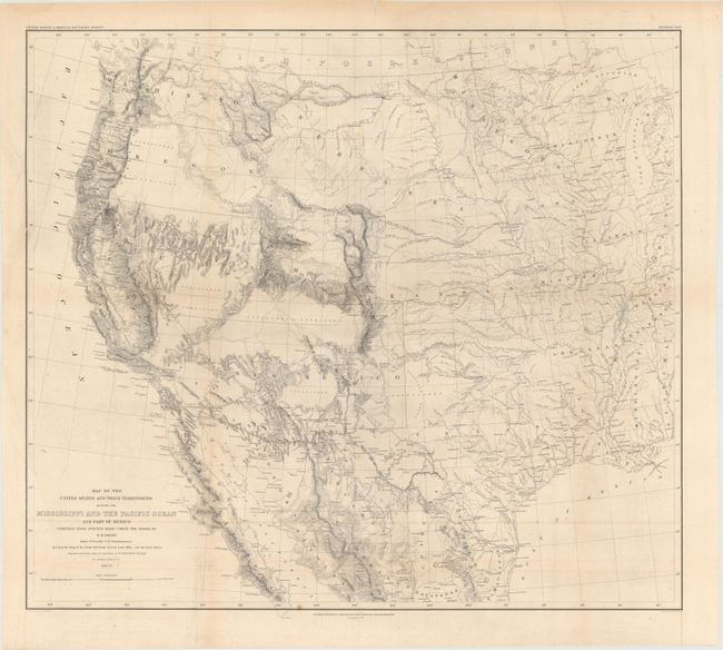
MapMaker: |
William Hemsley Emory
|
|
| |
| |
Subject: |
Western United States & Mexico |
|
| |
Period/Size: |
1857-58 / 20.6" x 22.9" (52.4 x 58.2 cm)
|
|
| |
Color: |
Black & White
|
|
| |
Condition: |
(B+) Issued folding with a few extraneous creases, minor toning along the folds, and a few small spots. There is a 5" tear just inside the neatline at top left that has been closed on verso with what appears to be cello tape, and a few tiny fold separati (condition help) |
|
| |
Source: |
United States & Mexican Boundary Survey |
|
| |
References: |
Wheat (TMW) #916. |
|
| |
|
|
| Sales Information |
| |
| |
Price: |
|
|
| |
| |
Offered by: |
Old World Auctions |
|
| |
Catalog: |
Auction No. 171 - Antique Maps, Charts, Atlases & Globes (9469) |
|
| |
Lot/Item #: |
312 |
|
| |
| |
Date: |
02/2019
|
|
| |
| |
|