| Item Detail |
| |
| |
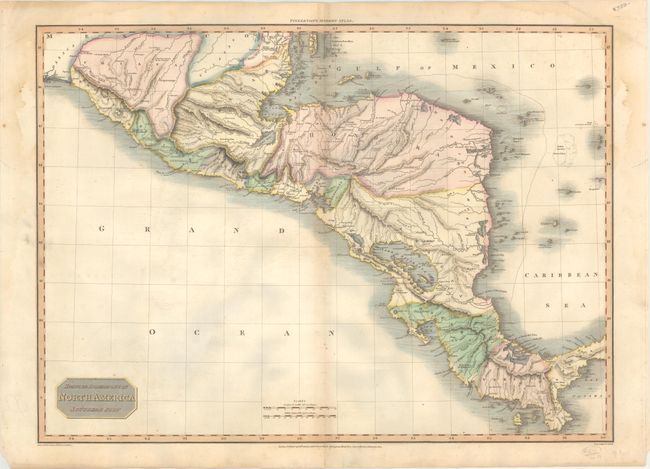
MapMaker: |
John Pinkerton
|
|
| |
| |
Subject: |
Central America |
|
| |
Period/Size: |
1811 / 19.8" x 27.4" (50.3 x 69.6 cm)
|
|
| |
Color: |
Colored
|
|
| |
Condition: |
(B+) A nice impression on "J Whatman 1810" watermarked paper. There is light toning along the centerfold, faint offsetting, and some dampstains mostly confined to the upper blank margins. Short centerfold separations are confined to the top and bottom b (condition help) |
|
| |
Source: |
A Modern Atlas |
|
| |
References: |
Phillips (Atlases) #724-45. |
|
| |
|
|
| Sales Information |
| |
| |
Price: |
|
|
| |
| |
Offered by: |
Old World Auctions |
|
| |
Catalog: |
Auction No. 171 - Antique Maps, Charts, Atlases & Globes (9469) |
|
| |
Lot/Item #: |
326 |
|
| |
| |
Date: |
02/2019
|
|
| |
| |
|