| Item Detail |
| |
| |
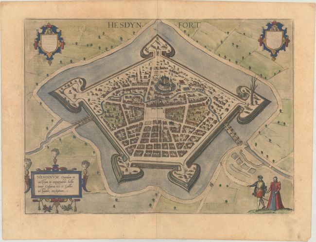
MapMaker: |
Braun & Hogenberg
|
|
| |
| |
Subject: |
Hesdin, France |
|
| |
Period/Size: |
1620 / 13.1" x 18.0" (33.3 x 45.8 cm)
|
|
| |
Color: |
Colored
|
|
| |
Condition: |
(B+) A nice impression on a sheet with a large coat of arms watermark, light toning, minor offsetting, and several printer's creases in the left blank margin. (condition help) |
|
| |
Source: |
Civitates Orbis Terrarum, Vol. IV |
|
| |
References: |
Fussel, pp. 278-80. |
|
| |
|
|
| Sales Information |
| |
| |
Price: |
|
|
| |
| |
Offered by: |
Old World Auctions |
|
| |
Catalog: |
Auction No. 171 - Antique Maps, Charts, Atlases & Globes (9469) |
|
| |
Lot/Item #: |
501 |
|
| |
| |
Date: |
02/2019
|
|
| |
| |
|