| Item Detail |
| |
| |
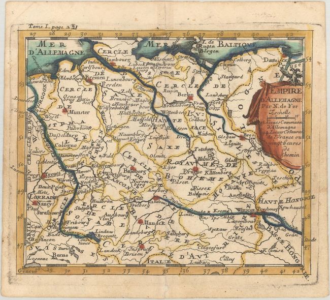
MapMaker: |
Nicolas de Fer
|
|
| |
| |
Subject: |
Central Europe, Germany |
|
| |
Period/Size: |
1689 / 5.3" x 6.4" (13.5 x 16.3 cm)
|
|
| |
Color: |
Colored
|
|
| |
Condition: |
(B+) A nice impression on watermarked paper with a small stain near the center of the image and a professionally repaired centerfold separation at bottom. (condition help) |
|
| |
Source: |
Methode pour Apprendre Facilement la Geographie |
|
| |
References: |
|
|
| |
|
|
| Sales Information |
| |
| |
Price: |
|
|
| |
| |
Offered by: |
Old World Auctions |
|
| |
Catalog: |
Auction No. 171 - Antique Maps, Charts, Atlases & Globes (9469) |
|
| |
Lot/Item #: |
519 |
|
| |
| |
Date: |
02/2019
|
|
| |
| |
|