Title:
“The Scripture Atlas, or a Series of Maps, to Illustrate the Old and New Testament”
Map Maker:
Mathews & Leigh
A beautiful, complete, first edition atlas contain... (full text available to subscribers)
| Item Detail |
| |
| |
MapMaker: |
Mathews & Leigh
|
|
| |
| |
Subject: |
Atlases, Biblical |
|
| |
Period/Size: |
1812 / 12.3" x 9.6" (31.3 x 24.4 cm)
|
|
| |
Color: |
Colored
|
|
| |
Condition: |
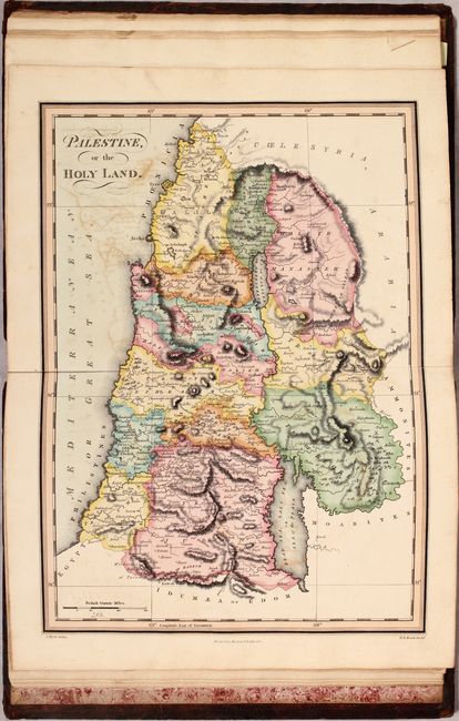
(B+) The maps are very good to near fine with occasional color offsetting. A few of the maps have short fold separations at bottom, while the map of Palestine has a separation that extends 2" into the image also at bottom. Decorative title page is moder (condition help) |
|
| |
Source: |
|
|
| |
References: |
Phillips (Atlases) #87. |
|
| |
|
|
| Sales Information |
| |
| |
Price: |
|
|
| |
| |
Offered by: |
Old World Auctions |
|
| |
Catalog: |
Auction No. 171 - Antique Maps, Charts, Atlases & Globes (9469) |
|
| |
Lot/Item #: |
753 |
|
| |
| |
Date: |
02/2019
|
|
| |
| |
|
Antique Maps - Valuation and Pricing, Descriptions, Resources |
|
Home |
Information |
Search |
Register |
Contact Us |
Site Map
Americana Exchange, Inc. © 1999 - 2024 Americana Exchange, Inc.. All rights reserved.
OldMaps.com, the OldMaps.com logo and
AMPR are service marks or registered service marks of Americana Exchange, Inc..
|