| Item Detail |
| |
| |
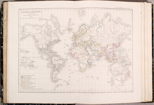
MapMaker: |
Louis Entienne Dussieux
|
|
| |
| |
Subject: |
Atlases, World |
|
| |
Period/Size: |
1856 / 13.8" x 10.0" (35.1 x 25.4 cm)
|
|
| |
Color: |
Colored
|
|
| |
Condition: |
(B+) The maps range from good to near fine with the vast majority being very good. Overall, there is occasional light scattered foxing and/or light toning. The folding map of France has numerous fold separations, there is a small stain and repaired edge (condition help) |
|
| |
Source: |
|
|
| |
References: |
|
|
| |
|
|
| Sales Information |
| |
| |
Price: |
|
|
| |
| |
Offered by: |
Old World Auctions |
|
| |
Catalog: |
Auction No. 171 - Antique Maps, Charts, Atlases & Globes (9469) |
|
| |
Lot/Item #: |
757 |
|
| |
| |
Date: |
02/2019
|
|
| |
| |
|