| Item Detail |
| |
| |
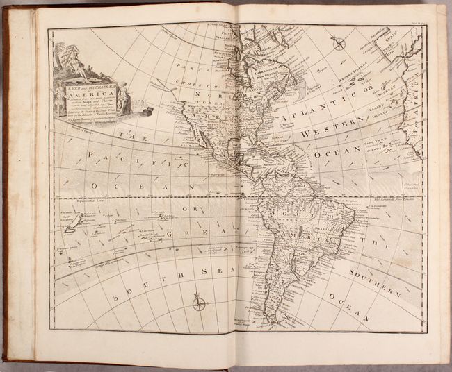
MapMaker: |
John Harris
|
|
| |
| |
Subject: |
Exploration |
|
| |
Period/Size: |
1764 / 16.6" x 10.7" (42.2 x 27.2 cm)
|
|
| |
Color: |
Black & White
|
|
| |
Condition: |
(B+) Maps and plates are in very nice condition with minor toning and occasional soiling or foxing. The map of Australia was trimmed at the sides by the bookbinder to fit in the volume, with loss of part of the neatline and a minute amount of the image. (condition help) |
|
| |
Source: |
|
|
| |
References: |
Sabin #30483; Shirley (BL Atlases) G.HARR-1d. |
|
| |
|
|
| Sales Information |
| |
| |
Price: |
|
|
| |
| |
Offered by: |
Old World Auctions |
|
| |
Catalog: |
Auction No. 171 - Antique Maps, Charts, Atlases & Globes (9469) |
|
| |
Lot/Item #: |
769 |
|
| |
| |
Date: |
02/2019
|
|
| |
| |
|