| Item Detail |
| |
| |
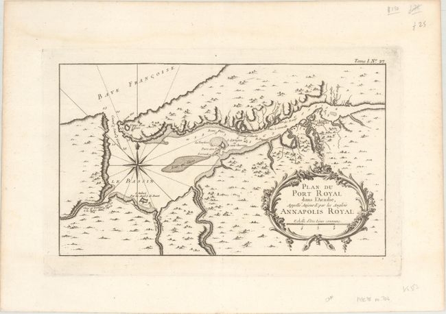
MapMaker: |
Jacques Nicolas Bellin
|
|
| |
| |
Subject: |
Nova Scotia, Canada |
|
| |
Period/Size: |
1764 / 7.8" x 13.3" (19.9 x 33.8 cm)
|
|
| |
Color: |
Black & White
|
|
| |
Condition: |
(A) A crisp impression on a bright watermarked sheet. There are faint damp stains along the top edge, well away from map image. (condition help) |
|
| |
Source: |
Le Petit Atlas Maritime... |
|
| |
References: |
Kershaw #791; cf. Tooley (MCC-96) #704. |
|
| |
|
|
| Sales Information |
| |
| |
Price: |
|
|
| |
| |
Offered by: |
Old World Auctions |
|
| |
Catalog: |
Auction No. 172 - Antique Maps, Charts, Atlases & Globes (9470) |
|
| |
Lot/Item #: |
91 |
|
| |
| |
Date: |
04/2019
|
|
| |
| |
|