Title:
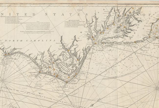
“To the Independent Mariners of America, This Chart of Their Coast from Savannah to Boston Is Most Respectfully Dedicated...”
Map Maker:
John William Norie
This rare, large-scale, blue-backed chart covers t... (full text available to subscribers)
| Item Detail |
| |
| |
MapMaker: |
John William Norie
|
|
| |
| |
Subject: |
Eastern United States |
|
| |
Period/Size: |
1852 / 25.4" x 61.5" (64.6 x 156.3 cm)
|
|
| |
Color: |
Black & White
|
|
| |
Condition: |
(B+) Light soiling with some staining along the left and right sheet edges. There are expert repairs to several edge tears and chips mostly at left and right, with a portion of the border drawn in facsimile. An overall very good example for a working na (condition help) |
|
| |
Source: |
|
|
| |
References: |
|
|
| |
|
|
| Sales Information |
| |
| |
Price: |
|
|
| |
| |
Offered by: |
Old World Auctions |
|
| |
Catalog: |
Auction No. 172 - Antique Maps, Charts, Atlases & Globes (9470) |
|
| |
Lot/Item #: |
127 |
|
| |
| |
Date: |
04/2019
|
|
| |
| |
|
Antique Maps - Valuation and Pricing, Descriptions, Resources |
|
Home |
Information |
Search |
Register |
Contact Us |
Site Map
Americana Exchange, Inc. © 1999 - 2024 Americana Exchange, Inc.. All rights reserved.
OldMaps.com, the OldMaps.com logo and
AMPR are service marks or registered service marks of Americana Exchange, Inc..
|