| Item Detail |
| |
| |
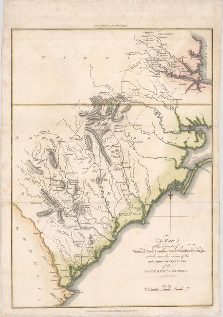
MapMaker: |
Samuel Lewis
|
|
| |
| |
Subject: |
Southeast United States |
|
| |
Period/Size: |
1806 / 14.3" x 10.4" (36.4 x 26.5 cm)
|
|
| |
Color: |
Colored
|
|
| |
Condition: |
(A) Issued folding, now pressed, with minor soiling, primarily confined to blank margins and a couple of small chips along the edges of the sheet that have been professionally repaired. (condition help) |
|
| |
Source: |
Life of Washington |
|
| |
References: |
|
|
| |
|
|
| Sales Information |
| |
| |
Price: |
|
|
| |
| |
Offered by: |
Old World Auctions |
|
| |
Catalog: |
Auction No. 172 - Antique Maps, Charts, Atlases & Globes (9470) |
|
| |
Lot/Item #: |
151 |
|
| |
| |
Date: |
04/2019
|
|
| |
| |
|