| Item Detail |
| |
| |
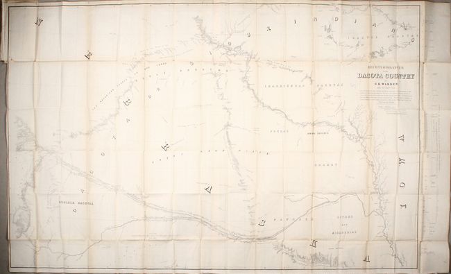
MapMaker: |
Gouverneur Kemble Warren
|
|
| |
| |
Subject: |
Central United States |
|
| |
Period/Size: |
1856 / 36.2" x 57.9" (92.0 x 147.1 cm)
|
|
| |
Color: |
Black & White
|
|
| |
Condition: |
(B+) Issued folding with light toning along the folds. There are several short separations along the folds and a binding trim with two associated 1" tears at top left. (condition help) |
|
| |
Source: |
Explorations in the Dacota Country, in the Year 1855 |
|
| |
References: |
Howes #W-118; Wagner-Camp #283. |
|
| |
|
|
| Sales Information |
| |
| |
Price: |
|
|
| |
| |
Offered by: |
Old World Auctions |
|
| |
Catalog: |
Auction No. 172 - Antique Maps, Charts, Atlases & Globes (9470) |
|
| |
Lot/Item #: |
161 |
|
| |
| |
Date: |
04/2019
|
|
| |
| |
|