| Item Detail |
| |
| |
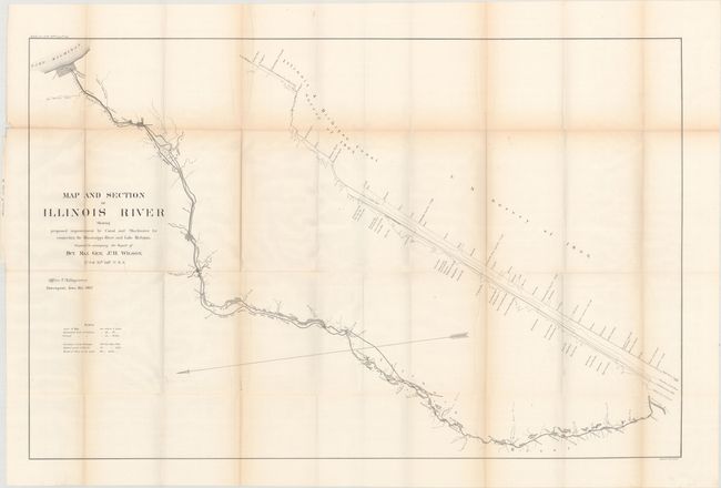
MapMaker: |
U.S. Corps of Engineers
|
|
| |
| |
Subject: |
Central Illinois, Chicago |
|
| |
Period/Size: |
1867 / 26.0" x 40.1" (66.1 x 101.9 cm)
|
|
| |
Color: |
Black & White
|
|
| |
Condition: |
(B+) Issued folding with light toning along the fold lines and a few tiny splits at fold intersections. (condition help) |
|
| |
Source: |
H.R. Ex. Doc. 16, 40th Congress, 1st Session |
|
| |
References: |
|
|
| |
|
|
| Sales Information |
| |
| |
Price: |
|
|
| |
| |
Offered by: |
Old World Auctions |
|
| |
Catalog: |
Auction No. 172 - Antique Maps, Charts, Atlases & Globes (9470) |
|
| |
Lot/Item #: |
223 |
|
| |
| |
Date: |
04/2019
|
|
| |
| |
|