| Item Detail |
| |
| |
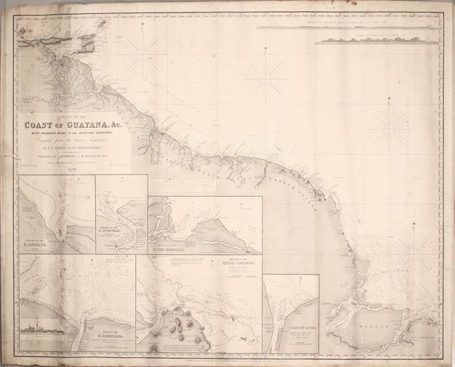
MapMaker: |
John William Norie
|
|
| |
| |
Subject: |
Guyana, Suriname, French Guiana |
|
| |
Period/Size: |
1876 / 25.3" x 31.4" (64.3 x 79.8 cm)
|
|
| |
Color: |
Black & White
|
|
| |
Condition: |
(B) This working chart is in good condition considering its heavy use, with moderate soiling and a few pencil notations. There are a couple of minor tears and chips along the edges of the sheet, including one that enters about 1/2" into the image at left (condition help) |
|
| |
Source: |
|
|
| |
References: |
|
|
| |
|
|
| Sales Information |
| |
| |
Price: |
|
|
| |
| |
Offered by: |
Old World Auctions |
|
| |
Catalog: |
Auction No. 172 - Antique Maps, Charts, Atlases & Globes (9470) |
|
| |
Lot/Item #: |
349 |
|
| |
| |
Date: |
04/2019
|
|
| |
| |
|