Title:
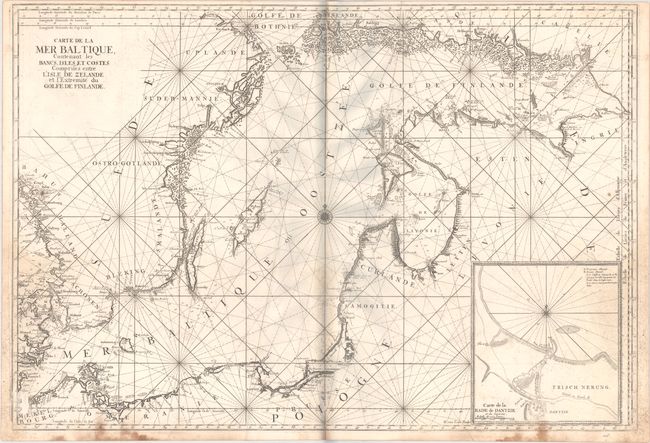
“Carte de la Mer Baltique, Contenant les Bancs, Isles et Costes Comprises Entre l'Isle de Zelande et l'Extremite du Golfe de Finlande”
Map Maker:
Alexis-Hubert Jaillot
This superb, large sea chart of the Baltic Sea is ... (full text available to subscribers)
| Item Detail |
| |
| |
MapMaker: |
Alexis-Hubert Jaillot
|
|
| |
| |
Subject: |
Baltic Sea |
|
| |
Period/Size: |
1693 / 24.1" x 35.1" (61.3 x 89.2 cm)
|
|
| |
Color: |
Black & White
|
|
| |
Condition: |
(B) A dark impression with scattered staining that is more prominent along the centerfold and side borders. There is a surface abrasion at lower left with small image loss and an extraneous crease to the left of the centerfold. The grayish hue around th (condition help) |
|
| |
Source: |
Le Neptune Francais |
|
| |
References: |
Pastoureau, NEPTUNE FRANCAIS A [2]. |
|
| |
|
|
| Sales Information |
| |
| |
Price: |
|
|
| |
| |
Offered by: |
Old World Auctions |
|
| |
Catalog: |
Auction No. 172 - Antique Maps, Charts, Atlases & Globes (9470) |
|
| |
Lot/Item #: |
418 |
|
| |
| |
Date: |
04/2019
|
|
| |
| |
|
Antique Maps - Valuation and Pricing, Descriptions, Resources |
|
Home |
Information |
Search |
Register |
Contact Us |
Site Map
Americana Exchange, Inc. © 1999 - 2024 Americana Exchange, Inc.. All rights reserved.
OldMaps.com, the OldMaps.com logo and
AMPR are service marks or registered service marks of Americana Exchange, Inc..
|