Title:
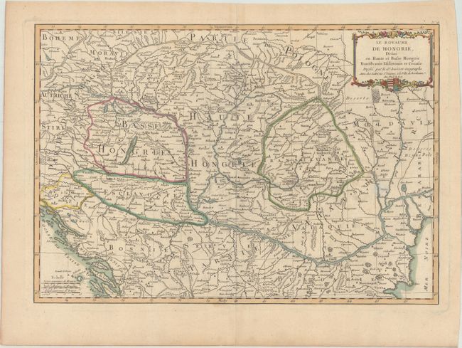
“Le Royaume de Hongrie, Divise en Haute et Basse Hongrie Transilvanie Esclavonie et Croatie”
Map Maker:
Janvier/Lattre
This is a handsome and cleanly engraved map coveri... (full text available to subscribers)
| Item Detail |
| |
| |
MapMaker: |
Janvier/Lattre
|
|
| |
| |
Subject: |
Southeastern Europe, Hungary |
|
| |
Period/Size: |
1771 / 12.0" x 17.3" (30.5 x 44.0 cm)
|
|
| |
Color: |
Colored
|
|
| |
Condition: |
(A) A sturdy sheet of watermarked paper with contemporary outline color and later color in the cartouche. Minor toning along the edges of the sheet. (condition help) |
|
| |
Source: |
Atlas Moderne |
|
| |
References: |
|
|
| |
|
|
| Sales Information |
| |
| |
Price: |
|
|
| |
| |
Offered by: |
Old World Auctions |
|
| |
Catalog: |
Auction No. 172 - Antique Maps, Charts, Atlases & Globes (9470) |
|
| |
Lot/Item #: |
515 |
|
| |
| |
Date: |
04/2019
|
|
| |
| |
|
Antique Maps - Valuation and Pricing, Descriptions, Resources |
|
Home |
Information |
Search |
Register |
Contact Us |
Site Map
Americana Exchange, Inc. © 1999 - 2024 Americana Exchange, Inc.. All rights reserved.
OldMaps.com, the OldMaps.com logo and
AMPR are service marks or registered service marks of Americana Exchange, Inc..
|