| Item Detail |
| |
| |
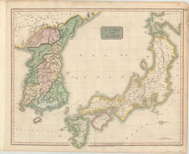
MapMaker: |
John Thomson [& Co.]
|
|
| |
| |
Subject: |
Japan & Korea |
|
| |
Period/Size: |
1815 / 19.8" x 24.4" (50.3 x 62.0 cm)
|
|
| |
Color: |
Colored
|
|
| |
Condition: |
(B+) A crisp impression with full contemporary color, very light soiling, and a couple of minor printer's creases. There are a few short tears confined to the edge of the sheet. (condition help) |
|
| |
Source: |
New General Atlas |
|
| |
References: |
Walter #128. |
|
| |
|
|
| Sales Information |
| |
| |
Price: |
|
|
| |
| |
Offered by: |
Old World Auctions |
|
| |
Catalog: |
Auction No. 172 - Antique Maps, Charts, Atlases & Globes (9470) |
|
| |
Lot/Item #: |
650 |
|
| |
| |
Date: |
04/2019
|
|
| |
| |
|