| Item Detail |
| |
| |
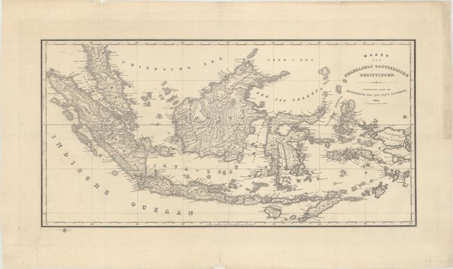
MapMaker: |
Daniel Veelwaard
|
|
| |
| |
Subject: |
Indonesia |
|
| |
Period/Size: |
1843 / 13.0" x 25.2" (33.1 x 64.0 cm)
|
|
| |
Color: |
Black & White
|
|
| |
Condition: |
(A) A sharp impression on a clean, bright sheet, ssued folding, now flattened with minor extraneous creasing. There are archival repairs to some tiny holes along the folds and to several chips and tears confined to the blank margins. (condition help) |
|
| |
Source: |
|
|
| |
References: |
|
|
| |
|
|
| Sales Information |
| |
| |
Price: |
|
|
| |
| |
Offered by: |
Old World Auctions |
|
| |
Catalog: |
Auction No. 172 - Antique Maps, Charts, Atlases & Globes (9470) |
|
| |
Lot/Item #: |
660 |
|
| |
| |
Date: |
04/2019
|
|
| |
| |
|