| Item Detail |
| |
| |
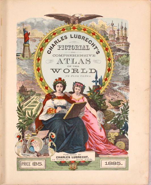
MapMaker: |
Charles Lubrecht
|
|
| |
| |
Subject: |
Atlases, World |
|
| |
Period/Size: |
1885 / 14.3" x 12.0" (36.4 x 30.5 cm)
|
|
| |
Color: |
Colored
|
|
| |
Condition: |
(B+) The maps and plates are very good to near fine with an occasional spot of foxing or edge tear in the margins. The map of the United States has a closed 1" edge tear at bottom, the map of Europe has a 2.5" centerfold separation at bottom, and the map (condition help) |
|
| |
Source: |
|
|
| |
References: |
|
|
| |
|
|
| Sales Information |
| |
| |
Price: |
|
|
| |
| |
Offered by: |
Old World Auctions |
|
| |
Catalog: |
Auction No. 172 - Antique Maps, Charts, Atlases & Globes (9470) |
|
| |
Lot/Item #: |
726 |
|
| |
| |
Date: |
04/2019
|
|
| |
| |
|