| Item Detail |
| |
| |
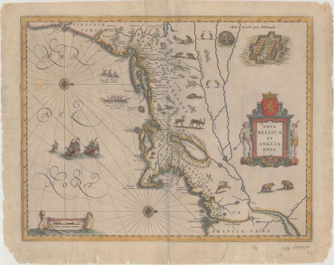
MapMaker: |
Willem Blaeu
|
|
| |
| |
Subject: |
Colonial New England & Mid-Atlantic United States |
|
| |
Period/Size: |
1635 / 15.3" x 19.5" (38.9 x 49.6 cm)
|
|
| |
Color: |
Colored
|
|
| |
Condition: |
(B) There are a couple of extraneous creases, light printer's ink residue, and minor soiling in the image. The paper is a bit stiff and there is a centerfold separation confined to the bottom blank margin, as well as a number of small chips and tears alo (condition help) |
|
| |
Source: |
|
|
| |
References: |
Burden #241; Goss (Blaeu) p. 164; McCorkle #635.1; Van der Krogt (Vol. II) #9310:2. |
|
| |
|
|
| Sales Information |
| |
| |
Price: |
|
|
| |
| |
Offered by: |
Old World Auctions |
|
| |
Catalog: |
Auction No. 173 - Antique Maps, Charts, Atlases & Globes (9471) |
|
| |
Lot/Item #: |
91 |
|
| |
| |
Date: |
06/2019
|
|
| |
| |
|