Title:
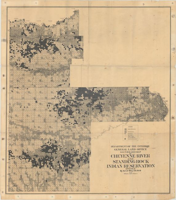
“Sectionized Map of Cheyenne River and Standing Rock Indian Reservation Opened by Act of May 29, 1908”
Map Maker:
General Land Office
This detailed map of these two distinct Indian res... (full text available to subscribers)
| Item Detail |
| |
| |
MapMaker: |
General Land Office
|
|
| |
| |
Subject: |
Dakotas |
|
| |
Period/Size: |
1908 / 31.5" x 28.0" (80.1 x 71.2 cm)
|
|
| |
Color: |
Black & White
|
|
| |
Condition: |
(B) Issued folding with light toning, scattered foxing, and a number of short fold separations that have been mostly closed on verso with archival tape. Numerous pinholes confined to the blank margins indicate it was hung at one point. (condition help) |
|
| |
Source: |
|
|
| |
References: |
|
|
| |
|
|
| Sales Information |
| |
| |
Price: |
|
|
| |
| |
Offered by: |
Old World Auctions |
|
| |
Catalog: |
Auction No. 173 - Antique Maps, Charts, Atlases & Globes (9471) |
|
| |
Lot/Item #: |
110 |
|
| |
| |
Date: |
06/2019
|
|
| |
| |
|
Antique Maps - Valuation and Pricing, Descriptions, Resources |
|
Home |
Information |
Search |
Register |
Contact Us |
Site Map
Americana Exchange, Inc. © 1999 - 2024 Americana Exchange, Inc.. All rights reserved.
OldMaps.com, the OldMaps.com logo and
AMPR are service marks or registered service marks of Americana Exchange, Inc..
|