| Item Detail |
| |
| |
MapMaker: |
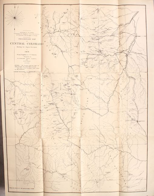
Ferdinand Vandeveer Hayden
|
|
| |
| |
Subject: |
Exploration & Surveys, Colorado |
|
| |
Period/Size: |
1874 / 9.4" x 6.1" (23.9 x 15.5 cm)
|
|
| |
Color: |
Black & White
|
|
| |
Condition: |
(B+) Maps and plates are in very good condition; the Central Colorado map has just a hint of toning and a 1.5" binding tear. One of the folding maps, Sketch; Showing the Primary and Secondary, Triangulation of 1873, is detached. Front hing (condition help) |
|
| |
Source: |
|
|
| |
References: |
Wheat (TMW) #1239. |
|
| |
|
|
| Sales Information |
| |
| |
Price: |
|
|
| |
| |
Offered by: |
Old World Auctions |
|
| |
Catalog: |
Auction No. 173 - Antique Maps, Charts, Atlases & Globes (9471) |
|
| |
Lot/Item #: |
129 |
|
| |
| |
Date: |
06/2019
|
|
| |
| |
|