| Item Detail |
| |
| |
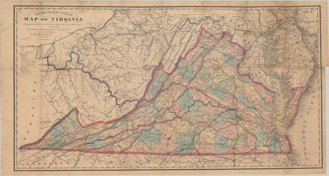
MapMaker: |
Matthew Fontaine Maury
|
|
| |
| |
Subject: |
Virginia, Civil War Reconstruction |
|
| |
Period/Size: |
1868 / 18.8" x 35.2" (47.8 x 89.4 cm)
|
|
| |
Color: |
Colored
|
|
| |
Condition: |
(B) Issued folding and now flattened with expert repairs on verso to numerous small fold separations at top and right. Four small areas of loss at top right have been professionally reinstated in facsimile. There is light staining and foxing, and the ma (condition help) |
|
| |
Source: |
Physical Survey of Virginia... |
|
| |
References: |
Wooldridge (Portolan - Spring 2007) pp. 26-39; Stephenson & McKee, p. 268; Phillips (Maps) p. 990. |
|
| |
|
|
| Sales Information |
| |
| |
Price: |
|
|
| |
| |
Offered by: |
Old World Auctions |
|
| |
Catalog: |
Auction No. 173 - Antique Maps, Charts, Atlases & Globes (9471) |
|
| |
Lot/Item #: |
168 |
|
| |
| |
Date: |
06/2019
|
|
| |
| |
|