| Item Detail |
| |
| |
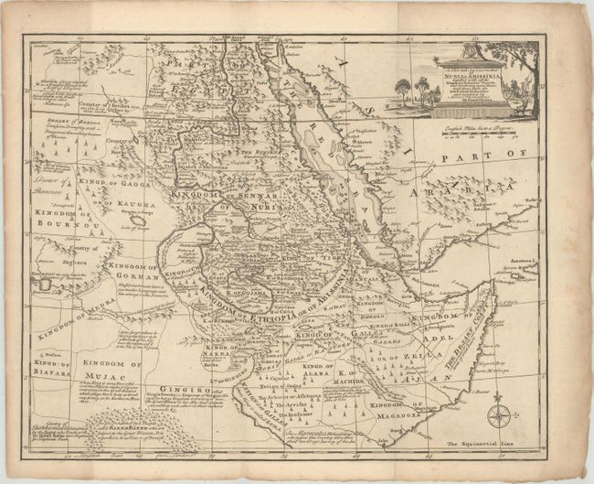
MapMaker: |
Emanuel Bowen
|
|
| |
| |
Subject: |
Eastern Africa |
|
| |
Period/Size: |
1766 / 13.8" x 17.0" (35.1 x 43.2 cm)
|
|
| |
Color: |
Black & White
|
|
| |
Condition: |
(B+) A fine impression issued folding on a sheet with a fleur-de-lis watermark. There is light toning that is mostly concentrated in the margins, faint soiling, and a damp stain that is confined to the right blank margin. (condition help) |
|
| |
Source: |
The Maps and Charts to the Modern Part of the Universal History |
|
| |
References: |
Shirley (BL Atlases) T.BOW-2d #34. |
|
| |
|
|
| Sales Information |
| |
| |
Price: |
|
|
| |
| |
Offered by: |
Old World Auctions |
|
| |
Catalog: |
Auction No. 173 - Antique Maps, Charts, Atlases & Globes (9471) |
|
| |
Lot/Item #: |
430 |
|
| |
| |
Date: |
06/2019
|
|
| |
| |
|